I’m going to start this post with a confession. I didn’t follow the directions given on the website and ended up taking us on a wild goose chase..
Where we needed to go was Cherokee Orchard Rd, we went to Cherokee/Newfound Gap Rd. I’m not sure how that happened BUT there is a silver lining!
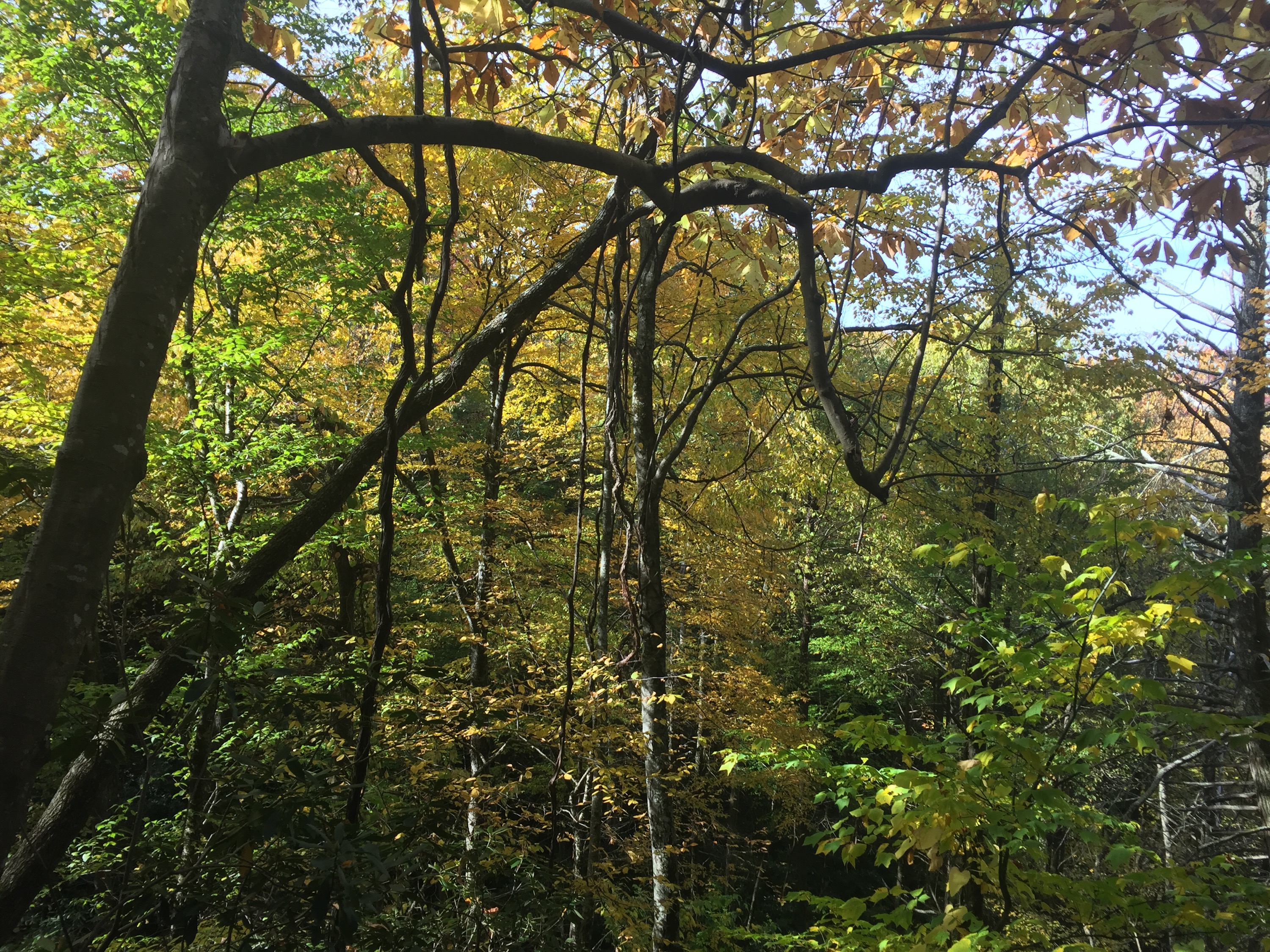
We stopped at an opening and saw the prettiest colors and then took a selfie (not sure what’s wrong with my hair).
 Going to our actual destination we came across turkeys! I told them they were safe since I don’t eat them anymore. I’m pretty sure they thanked me because they were making a lot of noise.
 Driving down Cherokee Orchard Rd, speechless!
 We made it! The initial sign doesn’t state Brushy Mountain but it’s located between Grotto Falls and Mt. Le Conte.


 The squirrels were very active, so cute 🙂 do you see him?
 Grotto Falls. You actually have to walk behind the falls to continue on the trail to the top.
 A sneak peek on the way up.

 Made some new friends! The lady leading the alpaca said they take supplies to the top of Mt. Le Conte 3 times a week (MWF). There are cabins you can rent and also a campground on top of the mountain.
Let me remind you that the hike to the top of Mt. Le Conte is 6.7 miles, then 6.7 miles back down! 

 Only 0.2 more to go!
 We found out very quickly why it’s called Brushy Mountain..
You literally have to walk through a lot of brush and it stinks. I’m not sure how to describe the smell, it just really stinks..dirty feet mixed with garbage?..lol
 These views..!
A small disappointment is that there really isn’t an open area to sit for a snack/lunch. It’s VERY brushy. There were 2 or 3 small dirt openings though. 
 Going back down, the colors were still beautiful even if the sun wasn’t as high.
 Grotto Falls again. There were less people when we came back down, photo op!
 This picture is when we were leaving. There were several places you could park and look at old cabins (you can see one through the trees).
  Total elevation gain was 1,745 feet?! The hike was rated strenuous and that sentiment is very accurate!
  Because of the drive to Gatlinburg and getting lost, we started our hike around 3pm. It took us 1:40 minutes-ish to get to the top. On the way back down we ran a little so that helped us make it to the bottom in 1:10 minutes-ish. Most people were hiking to see the falls which made the parking limited. The views were amazing but like I said it was a little disappointing at the summit.
Overall it was still a gorgeous day and hike!

